CAPE KAMENJAK
ENHRDESLPLHUCZITFR
Field guide · Cape Kamenjak

Mala Kolumbarica

An independent, source-led field guide to Mala Kolumbarica: access, landscape, practical context and what matters on the ground at Cape Kamenjak in southern Istria.

44.78° N · 13.91° EProtected landscape · 1996
Field notes

Mala Kolumbarica

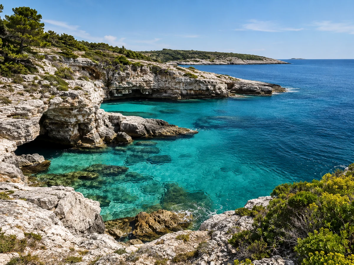
Mala Kolumbarica is where Kamenjak becomes visually dramatic: southern limestone, cliff edges, deeper-looking water and the Safari Bar sector. That drama is also why it is not the default family choice.

Read this location as part of a coast system rather than in isolation. If the water is exposed here, another side of the peninsula may be calmer. Keep cliff, current and heat decisions separate from aesthetic appeal.
CharacterMala Kolumbarica
GPS44.76880, 13.91192
AccessCape Kamenjak
Open in OpenStreetMap ↗
Mala Kolumbarica
Questions before you go
What can change on the day?

Wind, sea state, heat, season and visitor pressure can change the character of the same location. Use current conditions to shape the decision.

Where should I verify current access information?

Use JU Kamenjak for current operational information such as access rules, seasonal prices and visitor regulations.

Is the map a navigation tool?

No. The CapeKamenjak.com map is for orientation and trip planning, not marine navigation or safety decisions.